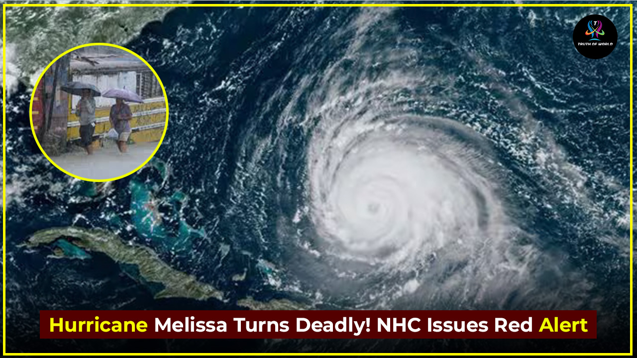
October 27, 2025 | Caribbean Sea – A dangerous and fast-evolving tropical cyclone is advancing toward the Caribbean, raising alarms across several island nations. The National Hurricane Center (NHC) reports that Hurricane Melissa has undergone extreme rapid intensification, and is now primed to strike as a major hurricane with potentially catastrophic consequences.
tatus Update & Forecast
- As of the latest advisory, Melissa is situated south of Jamaica and moving slowly (around 3-5 mph) west-northwest, feeding off warm Caribbean waters and favourable atmospheric conditions.
- The storm strengthened from a tropical storm to a Category 4 hurricane in an astonishingly short period, exhibiting what meteorologists call rapid intensification climbing from weaker levels to top wind speeds near 140 mph (220 km/h).
- The NHC forecasts that Melissa may reach Category 5 strength before or during landfall, making it one of the most intense storms on record in this region.
Projected Landfall: When and Where?
- Jamaica is under a Hurricane Warning and is the primary target for landfall, expected late Monday night into Tuesday morning.
- After Jamaica, the system is forecast to continue toward southeastern Cuba by Tuesday night, followed by potential impact on the southeastern Bahamas and Turks & Caicos mid-week.
- According to the NHC, “tropical-storm conditions are likely to begin today in Jamaica, with hurricane-force winds expected by Monday” and “life-threatening storm surge likely along Jamaica’s south coast.”
What’s at Stake: Key Hazards
Storm Surge & Waves
- Coasts of southern Jamaica could see storm surges of 9-13 feet (≈3-4 m) above normal tide levels, along with large destructive waves.
- Eastern Cuba may also face significant surge later in the week.
Torrential Rain & Flooding
- Rainfall totals of 15-30 inches are expected across Jamaica and southern Hispaniola, with some localised totals reaching up to 40 inches.
- The slow movement of Melissa increases the risk of catastrophic flash flooding and landslides, especially across mountainous terrain.
High Winds & Prolonged Impact
- With sustained winds near 140 mph and gusts possibly higher, the structural damage, power outages and communication breakdowns are likely.
- Given how slowly the storm is crawling, affected areas may experience severe conditions for an extended duration.
Why This Storm Is Different
- Meteorologists highlight that Melissa’s intensification rate is “extraordinary” — the climb in wind speed exceeded the usual threshold for rapid strengthening.
- Warm sea-surface temperatures and favourable upper-level dynamics are contributing to the storm’s potency.
- Jamaica, in particular,may face the strongest landfalling hurricane in its history, surpassing past major storms in intensity.
Preparation & Public Response
- Jamaican government has closed airports, activated hundreds of shelters, and urged citizens especially those in low-lying coastal zones to seek safety immediately.
- Officials emphasise that “today is really the last day to do what you have to do on the outside,” quoting Jamaica’s Meteorological Service.
- Evacuation is still largely voluntary, but authorities warn that delaying action may increase risk.
Wider Caribbean & Beyond
- Southern Haiti and southwestern Dominican Republic are on alert for heavy rain, flooding and mudslides through mid-week.
- Eastern Cuba, the Bahamas and Turks & Caicos will need to ready themselves for possible impacts later in the week.
- While the United States is not yet forecast to receive a direct hit, the storm’s size and access to deep warm waters keep U.S. coastal areas under monitoring.
Expert Insights & Warnings
- The NHC bulletin warns of “life-threatening flash flooding and landslides” and emphasises the prolonged duration and severity of the storm.
- Climate analysts say storms like Melissa are consistent with observed trends: slower-moving, more intense hurricanes fueled by warmer oceans.
- Local Caribbean disaster-management experts caution that infrastructure, shelter capacity and resource readiness are being severely tested.
What to Watch
| Key Moment | Timing (Local) |
|---|---|
| Hurricane-force winds | Monday night into Tuesday |
| Landfall in Jamaica | Tuesday morning (local) |
| Rain & Flood Peak | Monday-Wednesday |
| Cuba & Bahamas threat | Tuesday night into Wednesday |
Hurricane Melissa exemplifies how dangerous modern hurricanes can become with rapid intensification, slow progression and wide-ranging impact zones. Residents across Jamaica, Haiti and Cuba face a window of perhaps just hours to complete preparations. The storm’s evolution and path may still shift, but one message is clear: time is not on our side.
For anyone in the projected impact areas: act now secure property, stock up on supplies, locate shelters, follow official guidance. In storms of this magnitude, preparation isn’t just smart—it can mean survival.


